Bovec - Boka waterfall - Čezsoča - Log pod Mangartom - Bovec
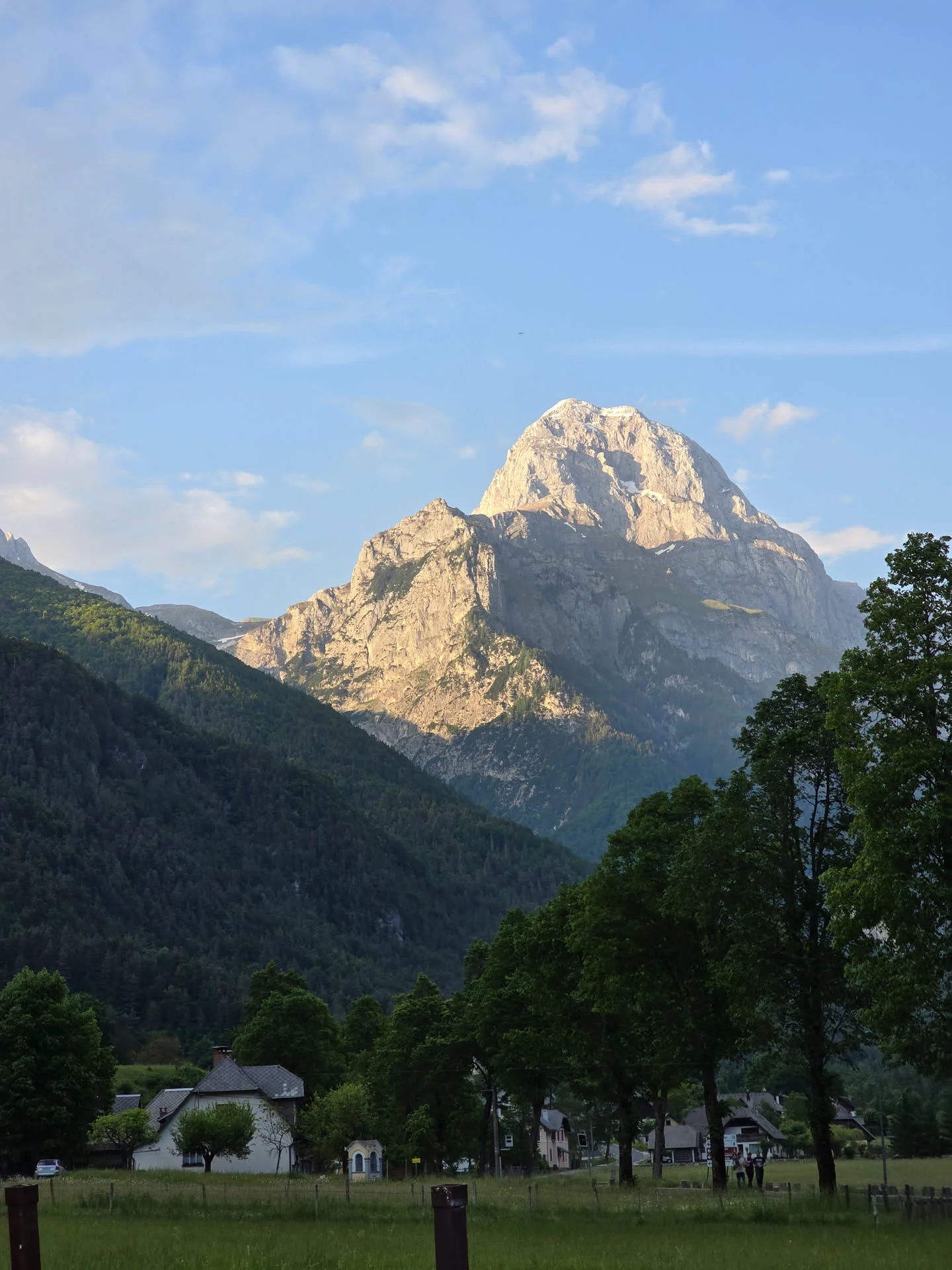
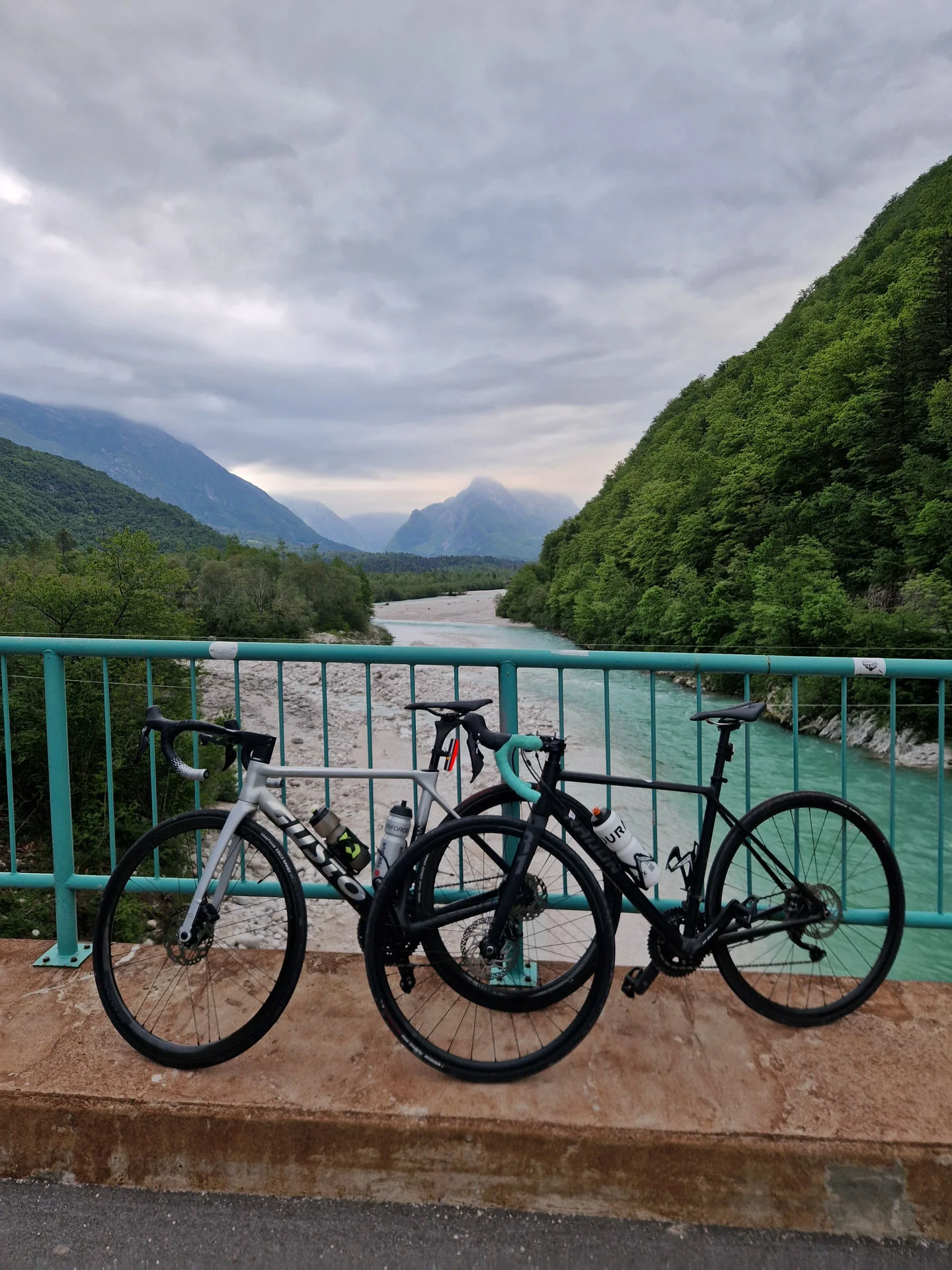
First of even if route is classified as easy it has quite a bit of climbing, there virtually no flat routes in Bovec.Route starts in Bovec going up to Plužna where we have a good view of the whole valley. We descend down to golf Bovec and proceed to the main road. We go by the mighty Boka waterfall - biggest waterfall in Slovenia. Than we turn off the main road and start going upstream of river Soča towards Čezsoča village. Up from there is short challanging ascend back to Bovec. Than go to the main road towards Predil pass up to Log pod Mangartom. Here we have some steep short climbs and the road is narrow, in the high season be aware of cars and campers, keep it single file. When reaching Log pod Mangartom there is a coffee stop - Brunarica where you can have a view of great walls and Mangart mountain - this one will be for next time. Road than descends back to Bovec.
GPX-Datei herunterladen